These fabulous aerial photos are thanks to Jimmy, the World Teach English teacher at Tabal.
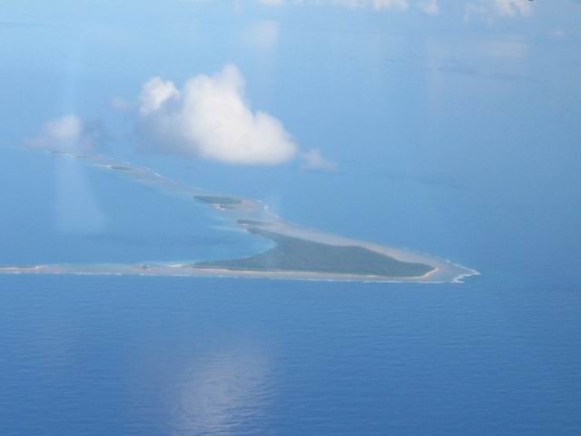
The above photo gives you a fairly good idea of what an atoll is and looks like. In this shot you are seeing about 1/2 of Aur Atoll with it protective reef and central lagoon. Because the lagoon is so deep, the lagoon water color matches the color of the surrounding ocean. The long island that is disappearing on the left edge is Aur island. The village is on the narrow end toward the right. We anchored right in front of it.
The triangular island a little to the right of center is Ennop. It is uninhabited and we spent some quality quiet time there.
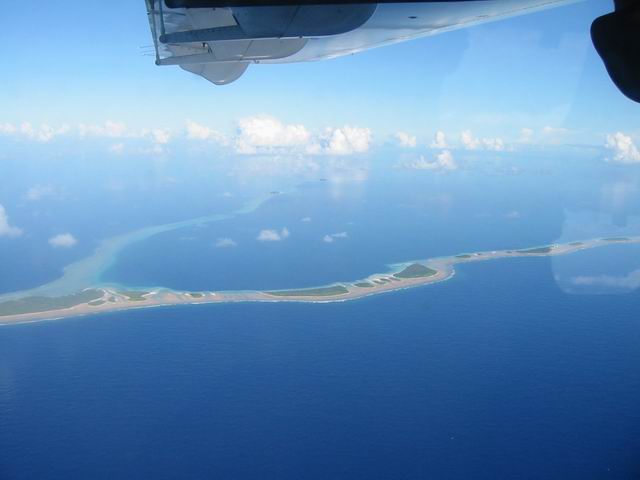
Below is Tabal island. It is in line with the islands in the picture above, and about as far again to the right. Due to the curve in the shore the island affords a very protected anchorage.